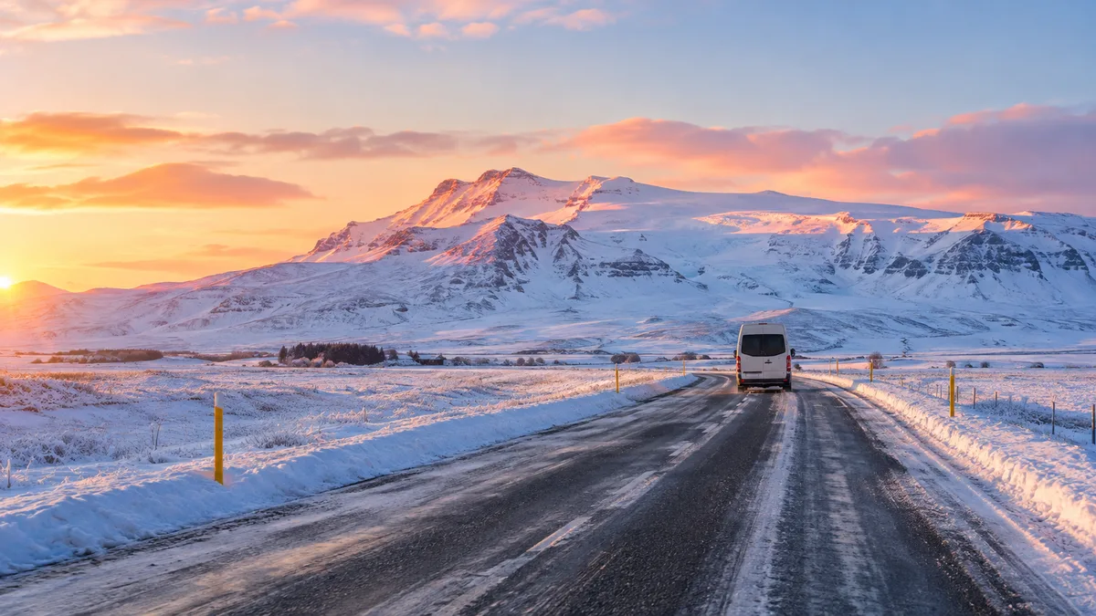
Booking choice: The small-group South Coast day, from $132 per person. Check dates Tour details
A South Coast day in winter is the same 375 km loop as in July, squeezed into a fraction of the light and run on roads that close a few times a season. It is also when the waterfalls freeze at the edges and the coaches thin out.
Everything below was checked on 22 October 2026: the daylight table for Vik, recent closures, how the Met Office warns, what Katla and the Mulakvisl river have done lately, and how tours adjust.
The quick answer
Sunrise in Vik moves from 08:55 on 1 November to 10:58 at the solstice, with 4 hours 31 minutes of sun on 21 December, then back to 10 hours by late February. Route 1 between Markarfljot and Vik closes in storms, most recently on 14 October 2026. Check umferdin.is and the Met Office warnings before any drive. Katla showed no alert change in 2025 or 2026 despite a quake swarm and a small Mulakvisl flood in August 2026. Tours keep running, with stops packed into the light and no walk behind Seljalandsfoss when it ices.
How much daylight does Vik get from November 2026 to February 2027?
From 8 hours on 1 November down to 4 hours 31 minutes on 21 December, then back above 10 hours by 28 February. Usable twilight adds about an hour at each end.
Iceland stays on UTC all year, so these are local times. They come from the sunrise-sunset.org astronomical data for Vik. Reykjavik is darker still: sunrise on the solstice is 11:22.
What it means for a day tour: with an 08:00 pickup in December, the first two hours are in the dark and the light runs out around 16:40, before the drive home. Seljalandsfoss in blue twilight, Skogafoss and Reynisfjara in the low sun, and the last stop in dusk is a normal December day.
| Date | Sunrise | Sunset | Sun | Civil twilight |
|---|---|---|---|---|
| 1 November 2026 | 08:55 | 17:03 | 8 h 08 min | 08:03 to 17:55 |
| 15 November 2026 | 09:38 | 16:22 | 6 h 43 min | 08:41 to 17:20 |
| 1 December 2026 | 10:24 | 15:45 | 5 h 20 min | 09:18 to 16:51 |
| 21 December 2026 | 10:58 | 15:29 | 4 h 31 min | 09:44 to 16:43 |
| 1 January 2027 | 10:56 | 15:42 | 4 h 45 min | 09:45 to 16:53 |
| 15 January 2027 | 10:34 | 16:15 | 5 h 41 min | 09:30 to 17:19 |
| 1 February 2027 | 09:50 | 17:08 | 7 h 17 min | 08:56 to 18:02 |
| 28 February 2027 | 08:25 | 18:31 | 10 h 06 min | 07:38 to 19:18 |
How often does Route 1 close on the South Coast in winter?
A few times each season, usually for hours, not days. The stretch under the Eyjafjoll mountains between Markarfljot and Vik closes in strong easterlies, and Hellisheidi out of Reykjavik in snow.
The latest example came before winter even started. On 14 October 2026 the Met Office had an orange warning for South Iceland from 05:00 to 10:00, with easterly winds of 18 to 28 m/s and gusts over 40 m/s. The Ring Road east of Markarfljot towards Vik closed early that morning and reopened later the same morning, Iceland Review reported.
A year earlier, on 31 October 2025, Route 1 shut between Vik and Markarfljot under a yellow warning (Grapevine). On 3 March 2026 a snowstorm cut visibility on Hellisheidi and the Threngsli alternative, with ice between Vik and Kirkjubaejarklaustur. Live closures are on umferdin.is, run by the Road and Coastal Administration. Check it the night before and again at breakfast.
How do Met Office warnings work, and where do you check them?
The Icelandic Met Office issues yellow, orange and red warnings by region, based on expected impact. Orange on the South Coast means a real chance of closures; red means stay put.
Warnings are posted on the Met Office site and its monitoring desk at gottvedur.is, which also flags floods and landslide risk. On 1 October 2026, for example, it warned of heavy rain around Eyjafjallajokull and Myrdalsjokull and a higher chance of rockfall. SafeTravel, run by the ICE-SAR rescue volunteers, collects alerts on one page and lets you leave a travel plan; its 112 Iceland app sends your position in an emergency.
A rule of thumb that has served visitors well: yellow, drive with care and expect gusts by the mountains; orange on the south, do not self-drive that day; red, nobody goes.
| Where to look | What it tells you | When |
|---|---|---|
| umferdin.is | Open, closed, icy or snow-covered road sections | Night before and morning of |
| gottvedur.is | Weather warnings, floods, gas, landslide risk | Two days ahead |
| safetravel.is | Current alerts, travel plan, 112 app | Before you leave |
| Your tour operator | Changes to pickup or route | Email the evening before |
Is Katla about to erupt? Mulakvisl and Myrdalsjokull in 2025-2026
No sign of it as of 22 October 2026. Katla had a quake swarm in October 2025 and a small flood down the Mulakvisl in August 2026, but its aviation colour code has not changed since July 2024.
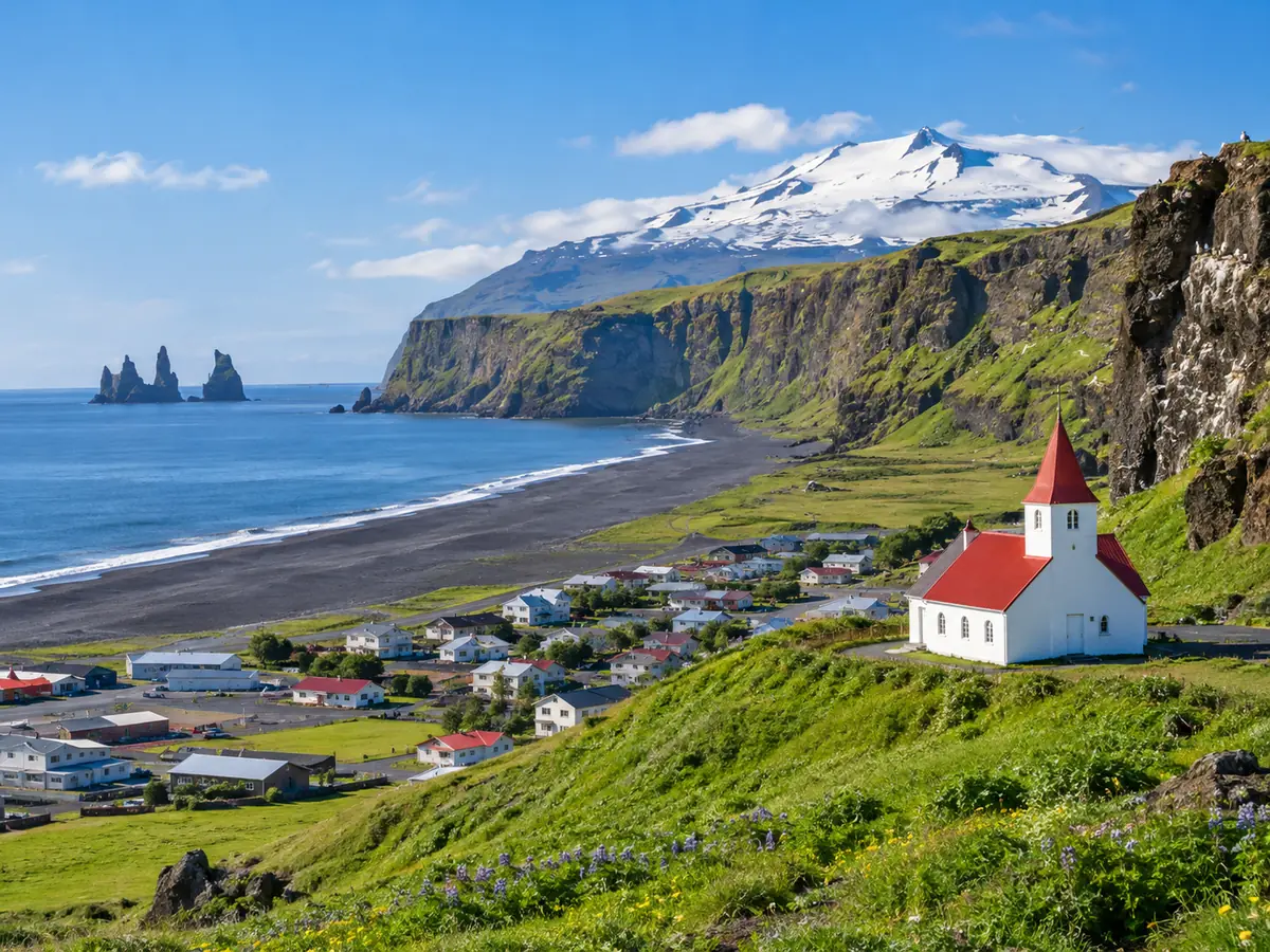
Katla sits under the Myrdalsjokull ice cap north of Vik. It has erupted at least 21 times in 1,100 years and last broke through the ice in 1918, according to the Met Office. Summer earthquakes and small meltwater floods there happen almost every year. In July 2024 one of those floods ran over Route 1 on Myrdalssandur and closed the road east of Vik for a time.
From 18 August 2026 a minor glacial flood came down the Mulakvisl, the river Route 1 crosses just east of Vik. Conductivity passed 500 µS/cm, the highest since 2017, and the Met Office warned of significant gas pollution and told people to stay away from the river. By 21 August it was subsiding with no gas detected. Day tours turn around at Vik, so they do not cross the Mulakvisl at all. If Katla ever does go, police send a text to every phone in the area.
| Date | What happened | Status |
|---|---|---|
| 27 to 29 July 2024 | Flood over Route 1 on Myrdalssandur; Katla code Yellow, then Green | Road reopened |
| July 2025 | Small flood into the Leira Sydri and Skalm rivers | Back to normal by 11 July |
| 20 October 2025 | Strongest Myrdalsjokull swarm in about 2.5 years | No signs of eruption, code Green |
| 18 to 21 August 2026 | Minor flood and gas in the Mulakvisl | Subsided |
| 22 October 2026 | No Katla notice on the Met Office VONA list for 2025 or 2026 | Green |
What changes on a South Coast tour in winter?
The route is the same. Stops get shorter and land in the daylight window, the path behind Seljalandsfoss closes when it ices, and guides may reorder the day around the wind.
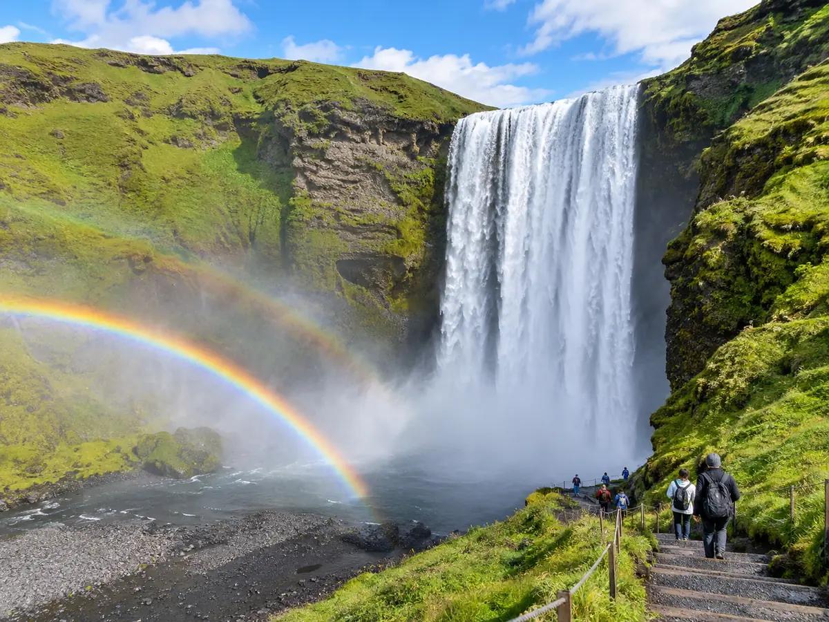
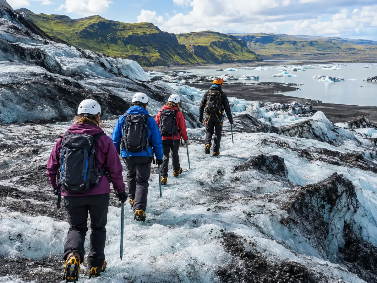
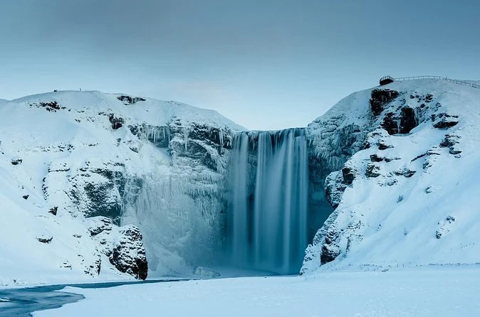
The south.is page for Seljalandsfoss warns that spray freezes on the cliff and the path ceiling in winter, and the ice falls in chunks when it thaws, so the walk behind is usually shut in icy weather. Dyrholaey's upper road often closes too. Glacier hikes on Solheimajokull run all year, with crampons from the operator; the glacier hike day starts at age 8.
Guests report guides switching the order of stops to dodge the worst of the weather, and coaches that keep going in snow. A Gray Line guest in February 2026: "We encountered heavy snow and a blizzard but all the sights were still amazing." Bring ice cleats for the car parks, waterproof trousers for the spray, and a packed lunch; lunch is never included. Do not book a South Coast day for the northern lights. It runs in daylight and does not stop for the aurora on the dark drive home.
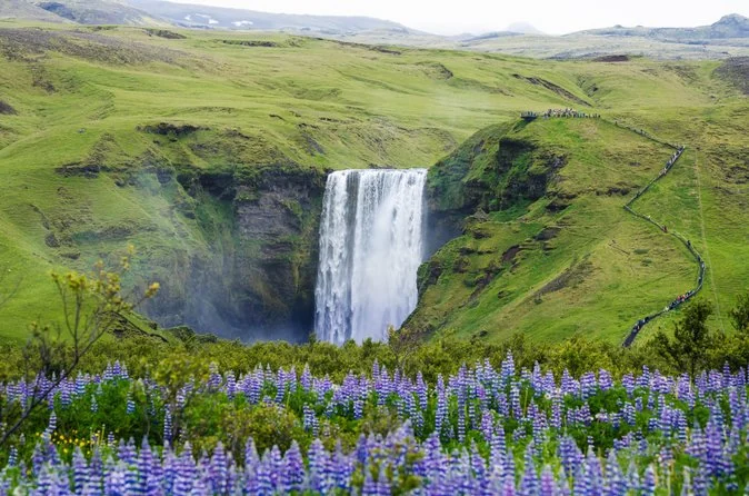
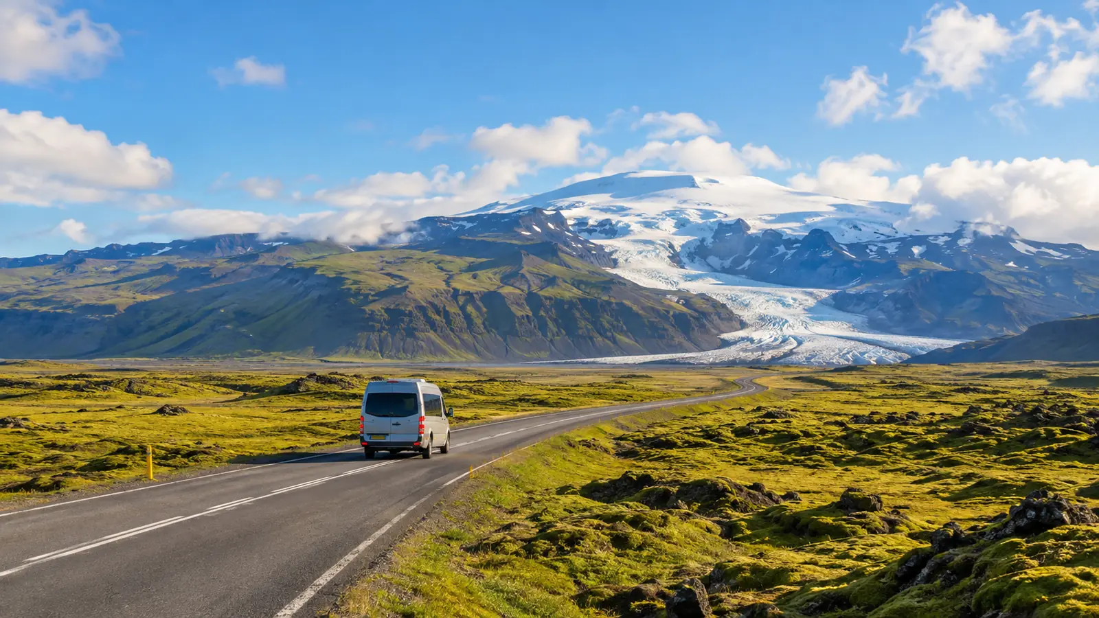
The winter loop in a minibus of 19 at most, with a driver who handles Route 1 in the wind.
Explore the small-group South Coast day Tour detailsShould you drive the South Coast yourself in winter?
Only if you have driven on ice before and can move your day when the forecast turns. Otherwise take a tour for this one day and rent a car for the easy parts.
The road is paved all the way and the driving is not technical. The problems are the wind on the open stretches, ice in the car parks, and four hours of light. Gusts that rock a heavy coach can push a small rental across the lane, and a closure under the Eyjafjoll can leave you on the wrong side.
A tour fixes the driving, not the weather: a closed road closes for everyone. What changes is who decides. One coach guest from February 2026 wrote that they were "glad we did not hire a car and booked a coach tour". Our winter tour guide compares the options, and the parking fee post has the self-drive costs.
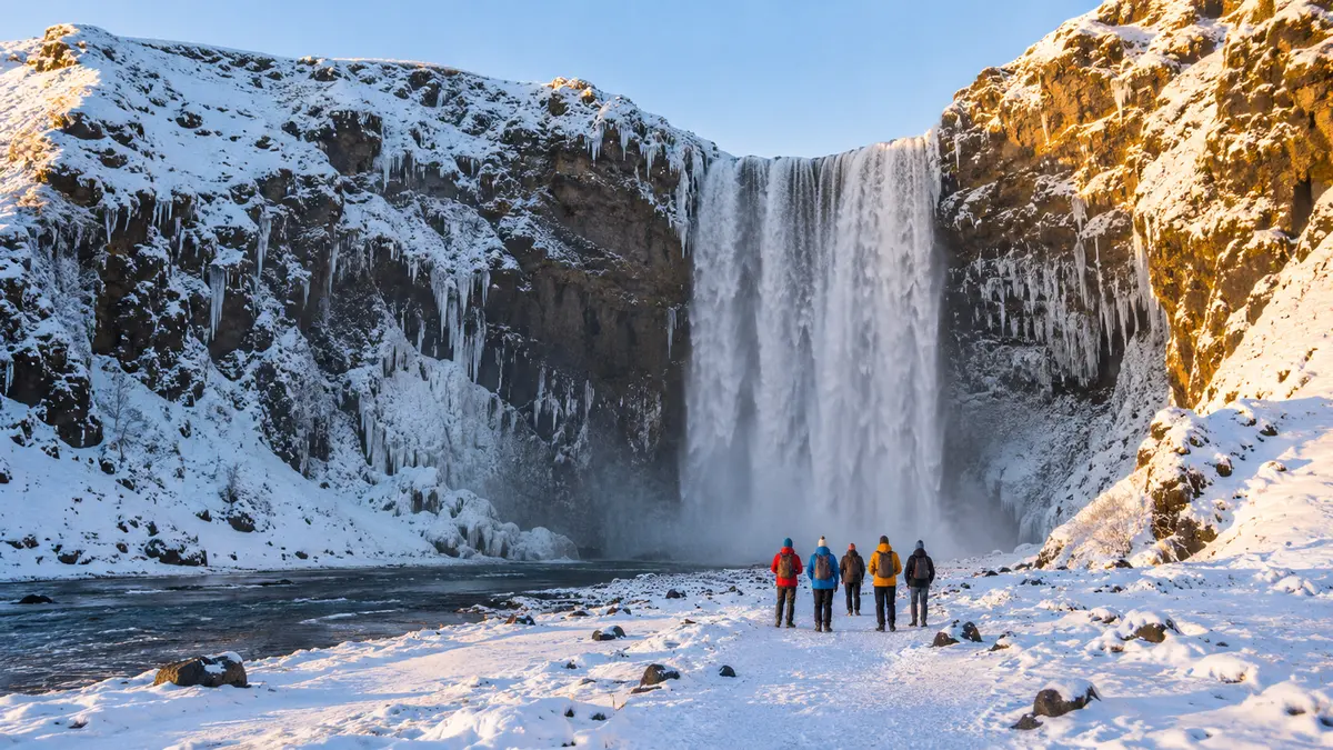
Leave the ice and the wind to the driver: small groups, all the classic stops.
Check dates for the small-group South Coast dayFrequently asked questions
How many hours of daylight are there on Iceland's South Coast in December?
In Vik the sun is up for about 4 hours 31 minutes on 21 December, from 10:58 to 15:29. Usable twilight runs from about 09:45 to 16:45.
Do South Coast tours run in winter?
Yes, all year. They may change the order of stops or skip the walk behind Seljalandsfoss when it is icy, and a road closure stops everyone.
Is it safe to visit the South Coast with Katla's activity in 2026?
Yes. The Met Office listed no colour-code change for Katla in 2025 or 2026, and day tours turn around at Vik, west of the Mulakvisl and Myrdalssandur.
Where do I check road closures in Iceland?
On umferdin.is, the Road and Coastal Administration's live map, plus the Met Office warnings and safetravel.is.
Ready to book
Choose your tour
Free cancellation up to 24 hours before on every option. Prices are from-prices in USD and move with the season.
Small-Group South Coast Day Tour
- Minibus with Wi-Fi, 19 guests at most
- English-speaking driver-guide
- Pickup at Reykjavik bus stops or the cruise terminal
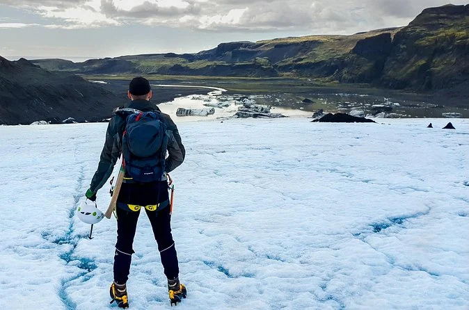
South Coast and Glacier Hike
- Guided hike on Solheimajokull
- Crampons, harness, ice axe and helmet
- Minibus, 18 guests at most
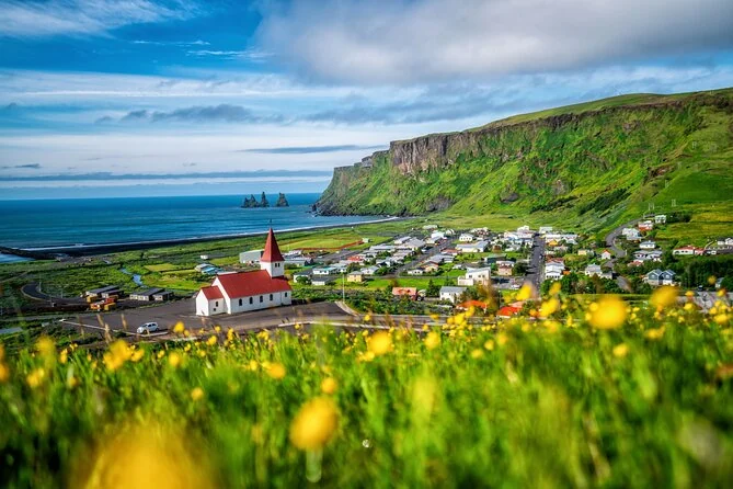
South Coast and Vik by Coach
- Coach ride with a guide
- Free Wi-Fi on board
- Pickup at your hotel or a bus stop, if chosen